Online Catalog

GNSS SURVEYS
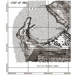
GNSS stands for Global Navigation Satellite System is a satellite system that is used to pinpoint the geographic location of a user's receiver anywhere in the world. GNSS allows the measurement of features or points anywhere in the world, from space. The data collected by these systems can be used to control large infrastructure projects or provide the information for In-car navigation systems.
Type of GNSS Receiver
- Navigation Receiver
- Survey or Geodetic Receiver
Mode of Geodetic GNSS Surveys
- Static Survey
- Kinematic Survey
- Pseudo static Survey
- Rapid Static Survey
- Real Time Kinematic Survey, (RTK)
Please request for more details or contact our customer service for more information.